Mexico City has sunk almost 30 feet since the beginning of the 20th century
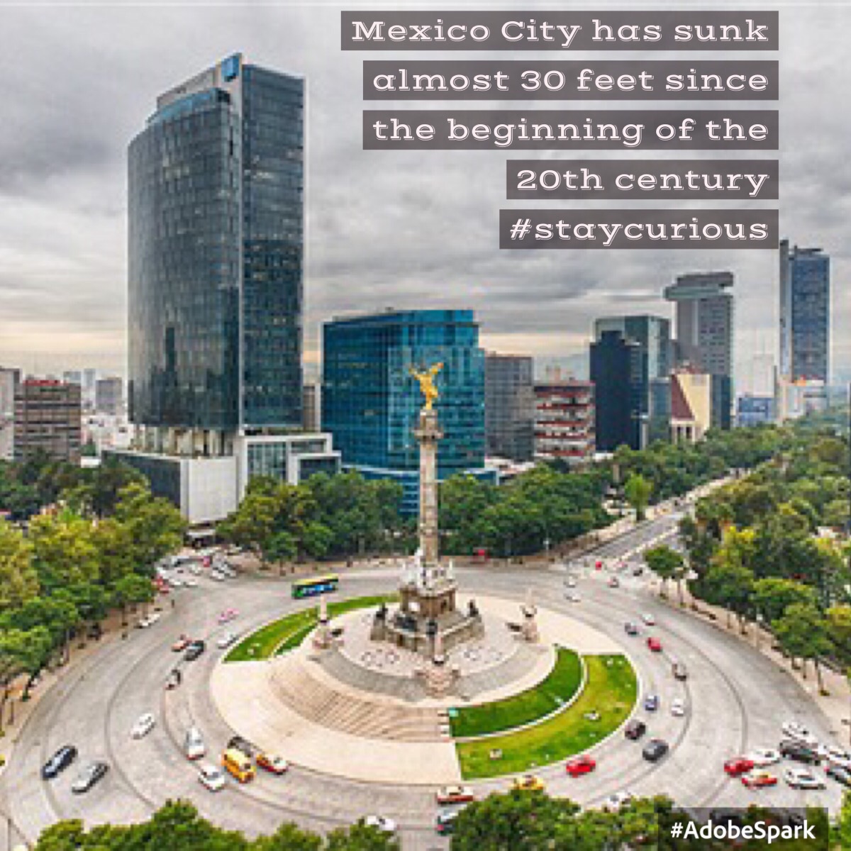

Mexico City is located in the Valley of Mexico, sometimes called the Basin of Mexico. This valley is located in the Trans-Mexican Volcanic Belt in the high plateaus of south-central Mexico.[53][54] It has a minimum altitude of 2,200 meters (7,200 feet) above sea level and is surrounded by mountains and volcanoes that reach elevations of over 5,000 meters.[55] This valley has no natural drainage outlet for the waters that flow from the mountainsides, making the city vulnerable to flooding. Drainage was engineered through the use of canals and tunnels starting in the 17th century.[53][55] The city primarily rests on what was Lake Texcoco.[53] Seismic activity is frequent here.[56] Lake Texcoco was drained starting from the 17th century. Although none of the lake waters remain, the city rests on the lake bed's heavily saturated clay. This soft base is collapsing due to the over-extraction of groundwater, called groundwater-related subsidence. Since the beginning of the 20th century, the city has sunk as much as nine meters in some areas. This sinking is causing problems with runoff and wastewater management, leading to flooding problems, especially during the rainy season.[55][56] The entire lake bed is now paved over and most of the city's remaining forested areas lie in the southern boroughs of Milpa Alta, Tlalpan and Xochimilco.[56] Don't forget to check out our Kickstarter Campaign! If you love Curionic pledge what you can! Even a dollar and a share helps!


